
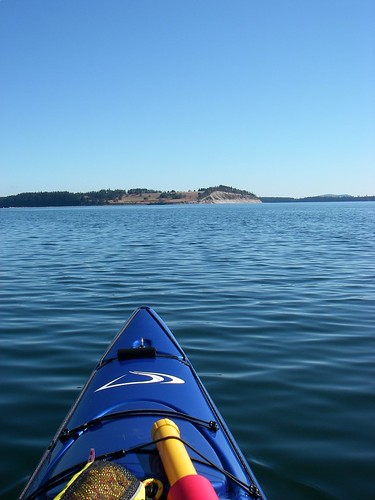
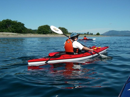
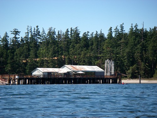
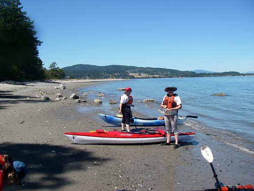
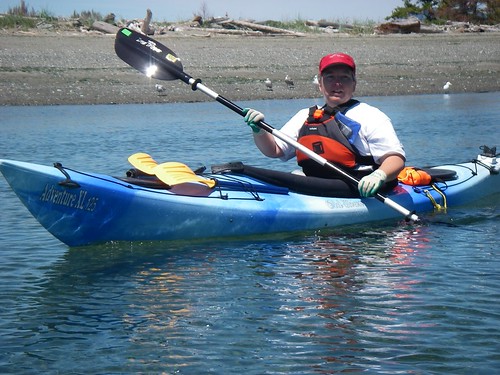
It was the elite group of paddlers today: myself, Paula, Alison and Louise. Marni McBean and Silken Laumann wanted to join us, but frankly, they're just too slow. Below, Louise and Paula set the pace towards James Island...
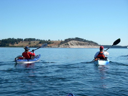
... and Alison keeps up.
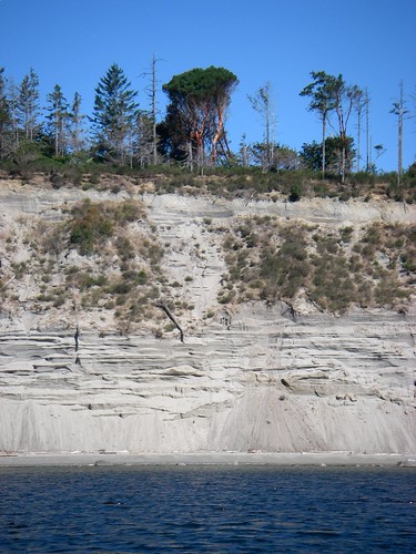
We reached the south-west corner and decided our next stop would be the south-east corner. The south shore of James Island is really strange, like someone came along with a giant saw and cut the end of it off. This is exactly the sort of thing that a glacier might have done in the last ice age...
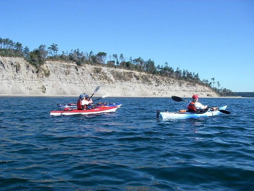
...except that the cut runs roughly east to west, and one might expect glacial cuts to be running roughly north-south. This prompted some lively geological discussion.
At the next corner, we decided to cross to Sidney Island. From there, we crossed to the next island, then decided to cross to the next island and so on and so forth. And that's how we made it to Japan!
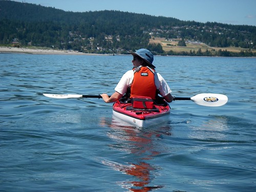
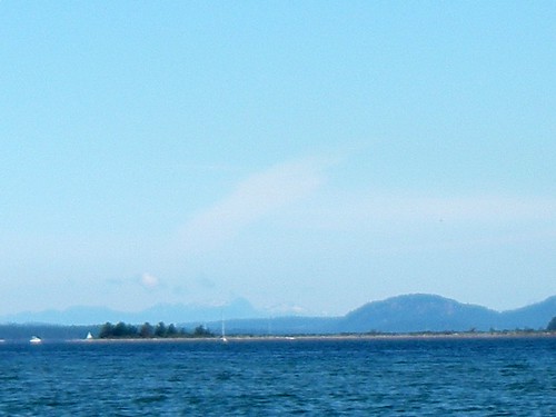
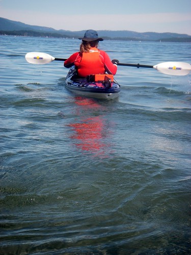
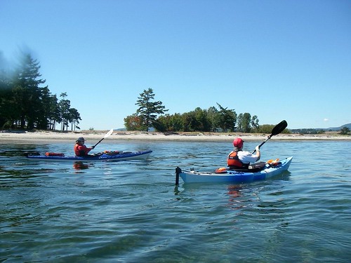
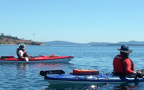
Okay, yes, I'm kidding. But the view was tremendous today. We really felt like we could just go from island to island. Paula was blown away by how far we could see. The Island right behind Paula's head in this picture is Galiano, about halfway to Vancouver...
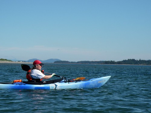
... and if you look carefully, you can see Vancouver's North Shore mountains behind Galiano.
We actually decided to circumnavigate James Island again. And unlike last time, when the tide turned just as we rounded the far end of the island (so that we were always fighting the current), this time the tide turned just as we put in. So yes, the first part of the paddle down the far side would be a tough slog, but once we turned back, it would be pretty easy. That was the theory, anyway. And we went in the opposite direction compared to last time, just to keep it interesting.
So onward ho!
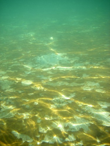
I tried to get a picture of a crab that Alison had spotted, but no luck. Still, the water was very clear.
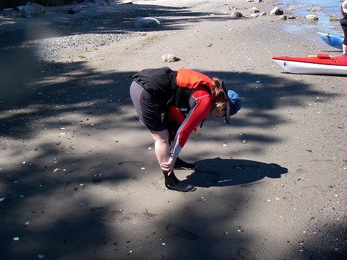
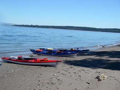
We put in...
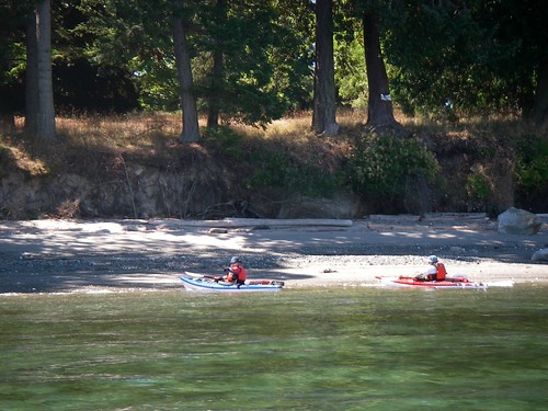
...for a stretch...
...and a rest.
Off again!
We turned at the north tip of the island and crossed back to the mainland. And with the tides and currents with us for a change, it was a welcome break from the hard work of the first leg of the trip.
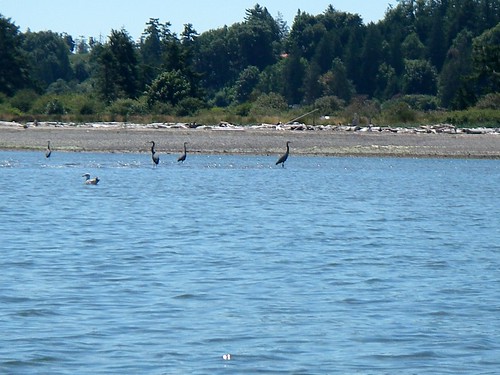
As we paddled along, we suddenly heard a roar off our stern. "Holy DELETED EXPLETIVE!" I shouted. "There's a DELETED EXPLETIVE seaplane taking off beside us!"
Meanwhile, the herons ignored both the seaplane and my use of colourful metaphors and kept right on eating.
A four-hour paddle and we all survived. What a gorgeous day! And did I mention that Mt. Baker looked spectacular today?

My pictures are here.
You do capture our paddles with stunning photos! Four hours the second time around and I have to admit, it seemed easier than last time and I'm not suffering sore shoulder blades this time.
ReplyDeleteSure John, but if you hopped island to island you wouldn't end up in Japan. That's to the west. Heading east,you'd end up in (gasp!) the US!
ReplyDeleteTrue... but "Japan" is a better punchline... :)
ReplyDelete