Wednesday, June 29, 2011

Why Not To Walk On Some Stony Shores

Hey, we're kayakers, but everybody has to come ashore once in a while. Unless we're Freya and can sleep in our kayaks for a week when crossing the Gulf of Carpentaria while circumnavigating Australia. So when we come ashore, that shouldn't be a problem, right? But it can be.
Sure, we look for sandy beaches or stony beaches when landing. It's hard to land a kayak where surf pounds on a rough, rocky shore. But we have to remember to look carefully where we're walking! Birds nest on the beaches, and it's easy to disturb the parents or step on their nests.


We've seen plenty of oystercatchers when out in our kayaks. The adult bird is pretty easy to see: big as a crow, with a bright red beak and bright pink feet. But have you ever seen an oystercatcher's nest? Well, I haven't. And I love birdwatching. And there's an ecological preserve right in and around Cadboro Bay to give oystercatchers and other birds some safe ground for nesting. That got me thinking -- what the heck DOES an oystercatcher's nest look like?

The answer is: damned near invisible. These photos are from the website of the Gulf Islands National Park Reserve. The nest is really hard to see on a stony shore, especially if you're used to the nests made by robins or crows or herons. Can you see two eggs and a chick among those stones? Could you see them if you were pulling your kayak above the high tide line? No wonder we're not allowed to go ashore on the little islands where these birds make their nests.
You can read more here about the GINPR's participation in a program to survey the population of black oystercatchers in this area.

Tuesday, June 28, 2011

Gulf Islands National Park Reserve -- Input Needed!

The parks staff for the Gulf Islands National Park Reserve has put out a call asking for public input. They're beginning to develop a management process for the GINPR and they are inviting the public to participate. So far, there are several groups involved in the process. The staff particularly wants boat users -- kayakers, yacht owners, etc -- to be part of the information process.
Here's a photo from the GINPR website that was taken on Cabbage Island near Saturna. It's wonderful to be able to do day visits and go hiking or even camping at some of the many park sites in the GINPR. When you ride on the ferry between Swartz Bay and Tsawassen, you pass many of these park sites. Members of our paddle group have enjoyed several places in the GINPR. We have plans to visit more of these small parks and islands and marine areas, this summer and next year and in years to come!
If you've taken your boat to any part of the GINPR or plan to visit it in the future, your input is needed. Check out their website and learn how you can get involved. Their e-mail list will send you newsletters and requests for special input, like the telephone conference call I joined last year.
Click on this link to see the locations and dates for public sessions during this summer in the Vancouver/Victoria/Gulf Islands area.

Sunday, June 26, 2011

A Little Bit of Everything

Louise and I planned to kayak with Paula today, but Paula had an early afternoon social engagement to attend, so it looked like the three of us would just have a quickie around Cadboro Bay. We wanted to take full advantage of the first full weekend of summer, and we're happy to report that "Summer" is finally living up to its name. Sunshine and warmth, but not too warm. Just right. I felt like Goldilocks. Where's my porridge, dammit?

Paula was saying last night that her kayak wheels weren't working very well. I dunno -- they looked like they are working fine this morning.
2011-06-26 Cadboro Bay_0003

As the mostly blue sky shone down on us, we headed out.
2011-06-26 Cadboro Bay_0056

Louise continues to like the results of the Delta Fit Kit I installed at the beginning of the month. She feels much more snug and secure in her boat, and that's a good thing. For those of you keeping score at home, she is still at one pad on each side and seems comfortable with that width, so I don't think we'll be making any changes to it.
2011-06-26 Cadboro Bay_0059 copy

I scooted along the northern shore of the bay while Louise and Paula stayed offshore on a more direct route. Just as we met up, I saw a splash in the water ahead on me and noticed three otters scamper out of the water. As they ran over the rocks, I reached into my cockpit for my big camera, but it slipped out of my hands as the otters crossed over a ridge. I hadn't seen any otters since our New Year's Day paddle, and was disappointed that I'd missed a chance to get a couple of shots. However, as Louise and Paula rounded the next small point, they saw the otters taking shelter under an old concrete boat ramp.
2011-06-26 Cadboro Bay_0004 copy
After a few minutes, they decided it safe to leave their shelter and resume foraging.
2011-06-26 Cadboro Bay_0009 copy

We paddled out first to Flower, then to Jemmy Jones Island, the stepping stones one would take before crossing to Chatham Island.
2011-06-26 Cadboro Bay_0060 copy
We weren't going to Chatham today -- we didn't have the time -- but it always seems like a disappointment when we don't make the crossing, but as we turned around at Jemmy, I saw something land back on Flower Island.
2011-06-26 Cadboro Bay_0021
We hadn't seen many eagles so far this year either, so this was pretty cool. And so was he, especially as we moved in a little closer.
2011-06-26 Cadboro Bay_0025 copy
2011-06-26 Cadboro Bay_0022 copy2
Suddenly, there was movement near the eagle. We looked and saw a mink scurry between some rocks! Well, either a mink or a big furry rat. We're going with mink. And I've never seen one of those around here before!

Crossing to the southern shore of the bay, we meandered around the rock garden off of the Uplands district. I spotted a goose family with some baby geese, although on closer inspection, they looked more like teenage geese.
2011-06-26 Cadboro Bay_0037 copy
Behind me, Louise and Paula were watching a life and death struggle between a seagull and a crab. The crab appeared to be winning as it had managed to latch itself to the seagull's breast with one claw and while dangling there was reaching up with his other claw trying to grab the seagull around the neck. The seagull seemed at a loss as to how to proceed, but finally shook the crab loose. As I returned, it appeared that the crab's efforts to escape were in vain.
2011-06-26 Cadboro Bay_0031 copy

As we started back, we saw another mink! We began an inventory of all the animals we'd seen so far. Apart from a couple of overflights, we hadn't seen any herons, but as we poked our nose into Loon Bay, a lone heron was staring intently at something....
2011-06-26 Cadboro Bay_0049 copy
...which turned out to be another pair of otters coming out of the water.
2011-06-26 Cadboro Bay_0051 copy

We fished an old fire extinguisher out of the water....
2011-06-26 Cadboro Bay_0067 copy
....and continued paddling along the shore. We couldn't believe how much marine life we'd seen on this short paddle.
2011-06-26 Cadboro Bay_0066 copy
"A seal," I said. "We haven't seen any seals yet." Louise and Paula murmured in agreement. Not 20 seconds after I spoke, a little seal head popped up. We all laughed as the seal dove under the water quickly, but the seal didn't dive deeply and instead slowly swan just below the surface towards us and the the rear of my kayak. I blindly aimed my camera over my shoulder.
2011-06-26 Cadboro Bay_0074 copy
The seal surfaced and gently bumped the rear of my kayak, then moved over and bumped Louise's kayak. It was a small seal, probably a juvenile waiting for its mother to return with food. Eventually he realized his mistake, and he soon moved away.
What else could we see on this paddle? "A pod of killer whales!" I shouted. But no, we were in three metre deep water and less than 500 metres from shore. No killer whales. But that was hardly a disappointment after this great paddle.

Trip Length: 6.90 km
YTD: 121.99 km
More pictures are here.
2011-06-26 Cadboro Bay

Friday, June 24, 2011

Your Friday Funny

Have you ever rented a kayak that leaked? If you have, you may sympathize with the folks in this video:

Wednesday, June 22, 2011

Hanging With J-Pod

Earlier this week, Louise and I took advantage of a sale by a local whale watching company and played tourist for the day. We headed to the harbour...
Project1
...to catch our ride out to see the mighty orcas, but as we approached the docks, my eyes were drawn to a new...um...sculpture that has appeared at the harbour end of Bastion Square.
2011-06-21 J-Pod_0001
I thought they were giant red tulips, but Louise couldn't form a definitive opinion. She considered everything from red peppers to suppositories to things that must remain unmentioned on a family blog. The one thing we'd agreed on is that they were strange looking. And even stranger is that the stalks are supporting a canoe. Turns out that the stalks are supposed to be reeds topped with red seed pods. Who knew? At least we guessed the canoe correctly.

A moment later, we arrived at our destination, Great Pacific Adventures.
2011-06-21 J-Pod_0004
From here they offer all sorts of rentals, including bike, kayak and canoe rentals, but they also offer whale watching in both Zodiacs or on a covered ship. We were going to be heading out aboard the 45-foot cruiser King Salmon.
With 30 or so other passengers, we headed out of the busy harbour in search of orcas. In the harbour at low speed and under sunny skies, we found the beginning of the trip to be very pleasant....
2011-06-21 J-Pod_0020
....but as we left the harbour and the speed of the vessel increased, Louise suddenly felt the urge to bundle up as the cool wind buffeted us.
2011-06-21 J-Pod_0043

At least our boat was faster than the other whale watching ships. That's the most important thing. Not that I'm competitive or anything.
2011-06-21 J-Pod_0035

As passengers, we had no idea where we'd be headed. I'd hoped that the whales would be near some of our usual kayaking spots so that we could experience these locations in a different perspective. But no such luck -- we go where the whales are, and they where nowhere near where we kayak -- no wonder I've never seen one while kayaking around here!
In fact, I really had no idea how far we would have to travel to find them. Clearly the captain knew where to go; once out of the harbour, she bore in a straight line without deviation to her destination. Glancing at my GPS, I was surprised by the course we were taking.
"We're heading straight into American waters," I told Louise. "You've always wanted to visit Washington State -- looks like you're going to today!"
And me without my passport. I just want Homeland Security to know that all those awful things I posted about "W" on Facebook for all those years were meant as jokes. Really. I was laughing with him, not at him.
We did the nautical equivalent of burning rubber for over an hour, finally coming to rest off the south-western shore of Whidbey Island. All hands were on deck...
2011-06-21 J-Pod_0133
...when we saw our first glimpse.
2011-06-21 J-Pod_0063 copy

We quickly learned that we were looking at members of the local group called the Southern Resident Killer Whales, or more specifically, about a half dozen members of J-Pod. A twenty-year old male, J27 (aka Blackberry) was identified in the group.
2011-06-21 J-Pod_0106 copy
2011-06-21 J-Pod_0083 copy

They were quite active and playful, diving and jumping and spyhopping as they fed, most likely on salmon, their main food source. I didn't get any photos of them jumping. For every picture I took that looked like this...
2011-06-21 J-Pod_0170 copy2
...I got five that looked like this.
2011-06-21 J-Pod_0204 copy

The local residents number only 87, and are considered endangered. Low salmon stocks, pollution, and a 50% infant mortality rate contribute to this designation, however numbers have bounced back somewhat since reaching record lows in the 1970s.
Does whale watching tourism have an effect of them? On this day, this particular group was surrounded by about 10 whale watching boats. The orcas didn't look particularly upset, but I'm certainly no expert, although one has to wonder how all the engine noise would effect animals with highly advanced auditory capabilities such as these. (Our captain did shut down the ship's engines when she could when near the orcas.)
How close did we get? The picture below will give you some idea. (The orcas are the tiny black spots above and to the left of the grey boat.)
2011-06-21 J-Pod_0178

How close is too close? Who watches the whale watchers? Fisheries and Environment Canada recommend that vessels (and that includes kayaks) should stay a minimum 100 metres away from whales. Don't approach from in front or behind, only from the sides.
Sometimes the whales have other ideas of course, and who's gonna argue with them? If you find yourself too close, back away slowly.
In American waters, officials take enforcement of orca no-go zones seriously. In fact, we watched as an enforcement boat approached a fully-loaded whale watching boat and issued some sort of warning. The whale watching boat backed off, and quickly left the area.
Local volunteer groups like Straitwatch also monitor whale watching vessels to ensure that they obey the rules.

We didn't stay on site for long as it had taken well over an hour to get here and we needed to head back.
2011-06-21 J-Pod_0196 copy
We left these magnificent creatures frolicking for other tourists and returned home.

2011-06-21 J-Pod

Into The Not-So-Deep Past

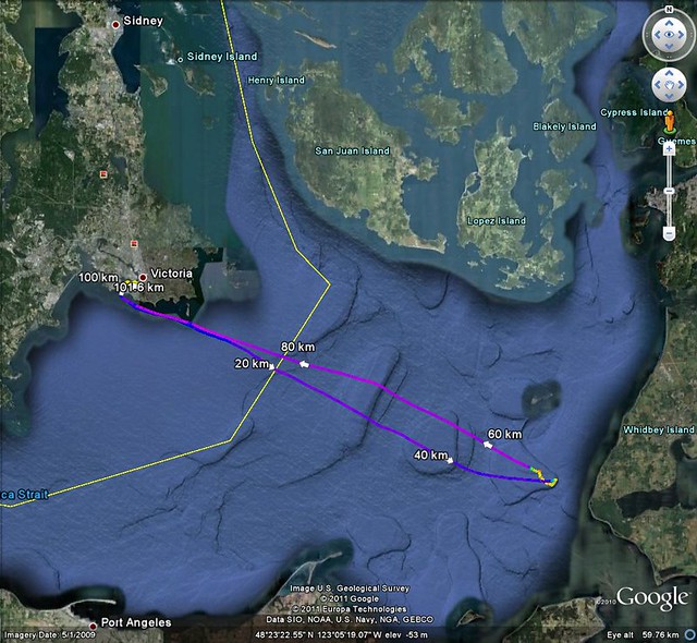
After the day I spent touring the Greater Victoria region with a geologist, I staggered around for many days seeing my familiar surroundings with new eyes. The first thing I wrote about this experience was the Into The Deep Past post on the Kayak Yak blog.
I should also write about the next day as well, when I went wandering into the past, but not so ancient. It was still pretty long ago by modern standards. Let me digress a little. We modern Canadians tend to think of things a thousand years old as pretty darned old. But around this part of the Island and the Salish Sea, there are traces of humans five thousand and possibly ten thousand years old. Or more. I don't know how to see the past as clearly as I'd sometimes like to do.
People in Europe can go look at the Parthenon in Greece, and see marble carvings etching in modern air pollution, or walk along Roman roads that were built to last. Two thousand years seems like a long time in Europe, with artifacts to look at all along the way. The Great Pyramids in Egypt are older, and we've still got the invoices for beer and onions for the workers, kicking around in museums somewhere. But the history books don't always tell the whole story -- like the olive tree on the hill next to the Parthenon that tradition holds was a gift from Athena herself. Or the marching songs that let Roman soldiers keep time with a 30-inch stride that added up to exactly a mile marched at the end of the right number of verses and choruses.
At least local history books about Victoria tell that the main wandering roads through Victoria follow old footpaths from before the Hudson's Bay Company built a fort here. Fort Road leads out from downtown, where the company built a fort on the Inner Harbour. Much older is Cedar Hill Road, which leads from Cordova Bay Beach south along a ridge that's now called Cedar Hill. Originally the Hill of Cedars was the bedrock hill re-named Mount Douglas for the company's chief factor and later the governor of the British colony. Mount Douglas is a good landmark around here. It's visible from most of the city, and the peninsula. When we're out on the water, the shape of Mount Doug tells us where we are along the shoreline.
When I follow Cedar Hill Road, it's easy to tell that it's been a road for a long time, long before the colony settlers started using it a hundred and fifty years ago. I don't need the historical records to tell me this. My feet tell me this as I walk along, or ride my bike. The road follows the creek up from the Cordova Bay shoreline, and then heads south, always staying out of the low valleys where streams would make the going muddy, and usually paralleling the high ground on a more level track than the highest points of the ridge. Instead of a surveyor laying out a road with a level and scopes, this route was laid by the time and motion analysis of many feet taking a sensible path. Practical knowledge can be science, too.
The old road crosses another old road, called (sensibly enough) Cedar Hill Cross Road. This pair of names drives visitors batty as they try to figure out where they're going, along roads that veer to take a slope at a more convenient angle. These roads aren't laid out on a grid like downtown. These roads are going someplace important to the people who made the original footpaths.
I could tell that these places are important, not only because local history books tell me so, but because of what can be seen along the way. There are old fields and Garry oak meadows that still bloom with camas flowers, a crop grown by the First Nations peoples. There's Spring Ridge, where good water welled up year-round. And at the end points, there were villages. At one end of the cross road was where we've built Craigflower Bridge, at the other the cross road split. One path led along the modern Beach Drive to villages where the Royal Victoria Yacht Club is now on Cadboro Bay, and Willows Beach on Oak Bay, the other led to what's now Gyro Park Beach on Cadboro Bay.
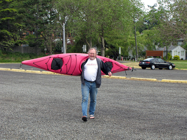
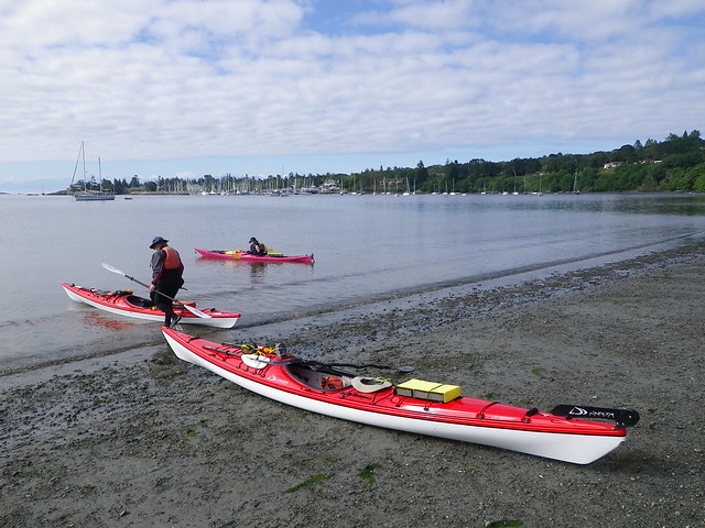
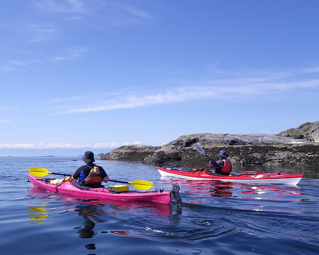
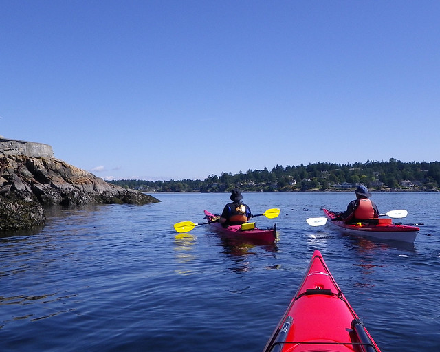
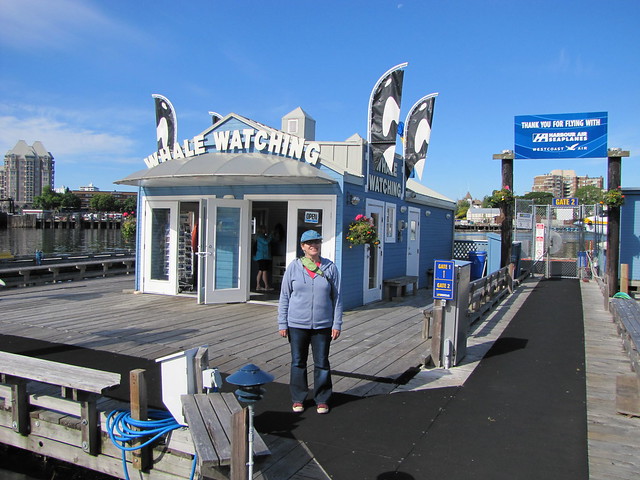
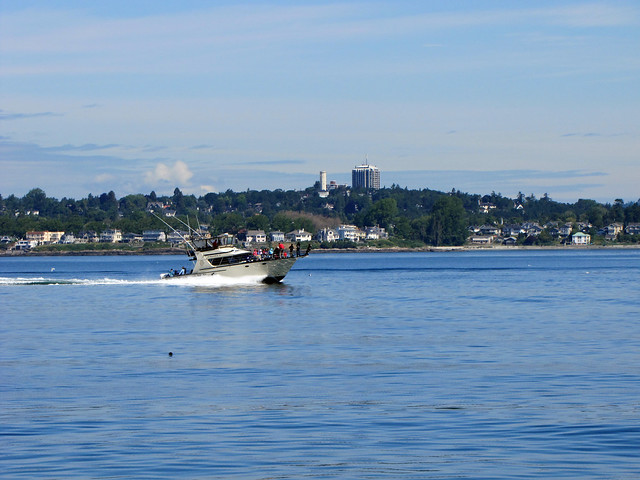
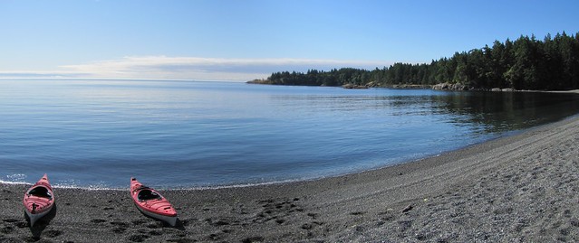
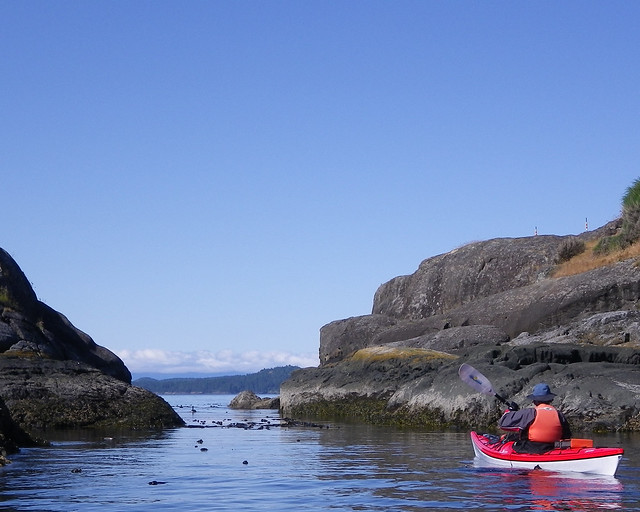
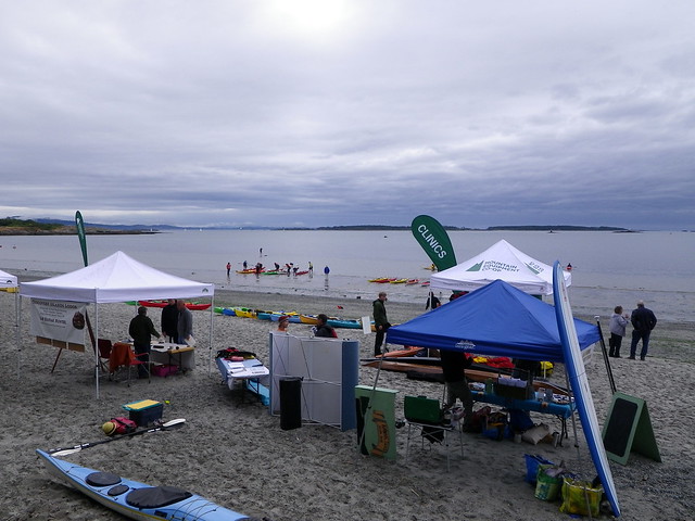
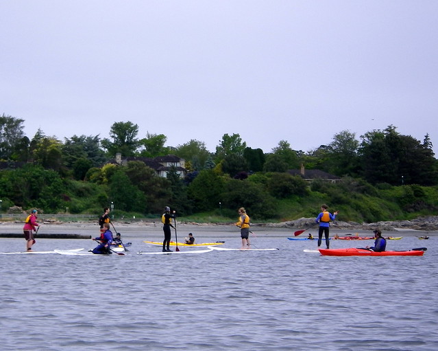
Okay, so that was a longer digression than expected for a blog post about kayaking. But really, that set of paths took me right back to my home waters in Cadboro Bay. I've taken my kayak out on the bay hundreds of times, at all levels of tide. And this day I started writing about, the day after my tour with the geologist, I set out to do an ordinary paddle out to Flower Island and back.
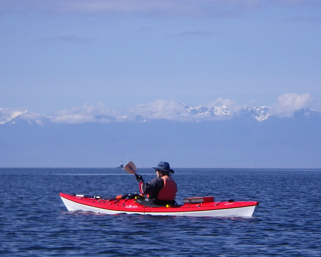
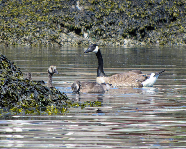
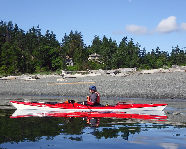
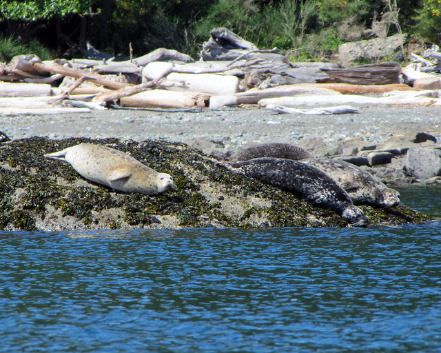
But I was still seeing the past all around me, manifest in the present tense. When you're out in a kayak or other small boat, you get used to being aware of the weather around you. But now I was sensitized to seeing the past. I saw the slight rise at the shoreline above the beach by the east end of the park, where the land rises for less than two metres. It's a midden, where there was a village. I saw the flat sand exposed by low tide, where clams blow little holes up, fewer now than when I was a child, but there must have been more, enough to harvest, a hundred years ago, two hundred years ago, a thousand years ago... And when I pushed off, my little boat was floating into the places where it showed me what this shoreline was like a long time ago in human terms.
It's hard to keep track of all the local names for islands and points and bays around here. There's a different name for most places in each of the local First Nations languages. Some of these places were used by different groups at different times, or at different times of year. My paddling group is learning names from charts. We also make our own names for the little rock garden, the big rock garden along the Uplands shore, the channel that someone has blocked by chaining a steel float, and where we see animals.
I'm not sure how long ago the sea level was at the point that we see nowadays as our zero tide. Only on the lowest tides at the winter and summer solstices each year does the tide get that low nowadays. But during the latest Ice Age the water level was lower still. I paddled along the shoreline where the little rock garden would have been a lumpy point of land sticking out from the rocky shore, as it is during low tide.
I looked across to the other shore that rises above the west end of the beach, and saw that there had been a slide or a slump of part of the bluff. Until then, I had been assuming that most of that bluff was made of the same rock as this side of the bay. But no, the slide showed sand. It made sense after a moment's thought. There are sandy bluffs miles up the peninsula, up near Island View Beach, and on James Island and Sidney Island. But I didn't know this bluff was made of sand. I'd never tried to climb it, so I hadn't learned what was hidden under the greenery covering the steep slope. There's plenty of greenery trailing over the rocks on the rocky side, too. It was the sand showing against the greenery that let me see from across the bay that there had been a landslide. The new edge of the bluff looked rather too close for comfort to the patio of one of the fine houses along the top of the bluff. Suddenly, I felt even less craving for a waterfront house than ever before.
And now I understood why Cadboro Bay is so shallow under that bluff when it's deeper along the east shore -- under the bluff here is like the shallows south of the bluff at the end of James Island. The sand slumps. It's been slumping since the glaciers retreated at the end of the latest ice age. When I paddle over that shallow, sandy-mud bottom, I'm paddling over ten thousand years of sand slumping into a basin scoured between the bedrock of the east shore and the bedrock of the Uplands shore along the west and south. The tides pull the sand out and spread it along the beach between the arms of the bay. There's been a sandy beach here for ten thousand years.
That's only a heartbeat in the geological time that Dr Yorath the geologist showed me how to see. But it's all the time that the Salish-speaking people have lived at this end of Vancouver Island.
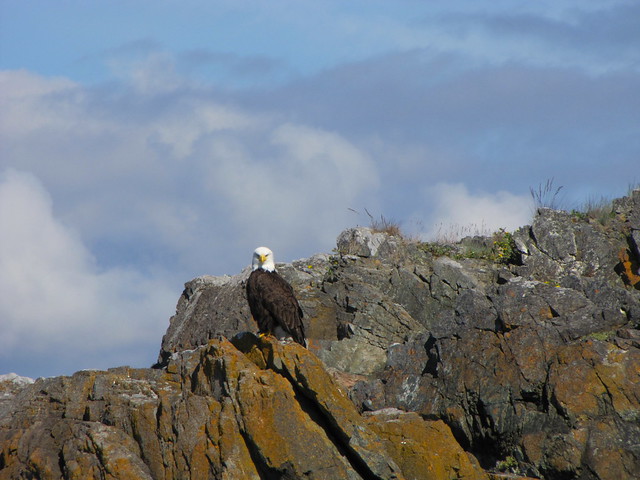
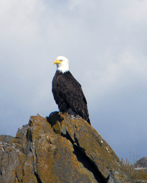
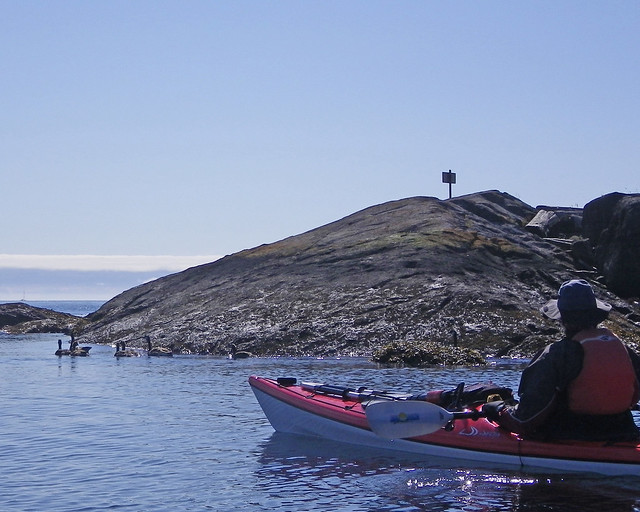
I paddled a little further along, to one of the many little islands in the bay that are part of the Ecological Reserve. Don't go ashore on those islands -- they're bird sanctuaries! There are other reasons not to go ashore there, as well. These were important places for First Nations people, places of transition. There are stories shared in books and on websites about how there were stones at special places, stones regarded as ancestral guardians showing good ways to travel or where to look for food. There are similar stories from Europe about the standing stones in fields and hills. I looked at one of the little islets in the bay, with a stone on it. The first time I saw it, I knew that this stone was clearly a glacial erratic left behind by the ice. But this time, when I turned away from the little island, I looked across the bay and could see the two old village sites. The modern houses faded to my new way of seeing -- I could see that this was a good spot to look over on both villages, from what would have been a little point or peninsula, not an island.
This stone makes a good memory stone.
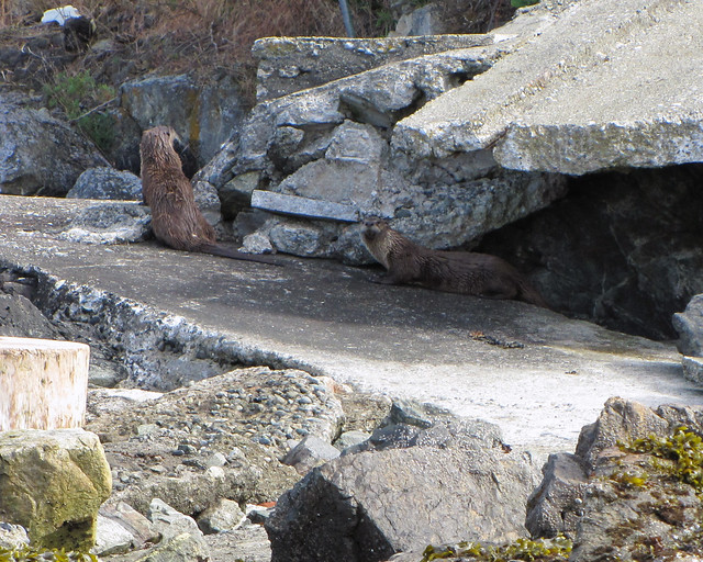
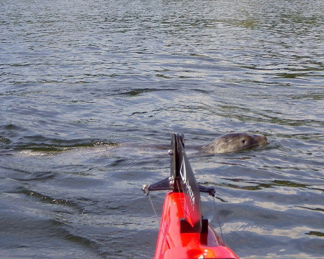
I drifted on for a while, paddling slowly. Flower Island was living up to its name, all a-bloom with blue camas flowers. This island was someone's place to gather camas bulbs for special feasts, right up till a hundred years ago or so. This basalt rock would have been connected to the point ten thousand years ago. The narrow channel that separates Flower is also a shallow one. I took my boat around Flower to Evans Rock, where there's another channel, shallow at low tide. Drifting along, I could see the bottom is white there, not the white of barnacles so much as the white of a shell beach. How long ago was this channel a beach for harvesting oysters and clams? A thousand years, five thousand years ago? Only at a zero tide is the water shallow enough for me to see the bottom and guess at the work of hands opening shells, gathering seafood for all those years, all those years ago.
I remember that one time I was talking with my mother about Discovery Island and the Chathams, near Victoria off Oak Bay and Ten Mile Point. She hadn't known that much of those islands are an Indian Reserve. She wondered why the local First Nations people hadn't developed that area. After all, Victoria had plenty of houses and businesses, why not there too? I tried to suggest that maybe the people who had been using those little islands for thousands of years had developed them just exactly the way that they found them most useful.

Tuesday, June 21, 2011

Colin Angus Going For the Vancouver Island Circumnavigation Record

Colin Angus has finished Day 2 of his attempt to set a record for the fastest circumnavigation of Vancouver Island. The current record was set last year by Joe O'Blenis: 16 days, 12 hours and nine minutes. Joe set his record in a kayak, but Colin is using a row boat -- let the hair-splitting begin! :)
You can follow Colin's record attempt on his adventure blog here.

Albert Head

Albert Head
Yesterday was one of those days that was made especially for being outside and doing your thing, whatever your thing is. And Louise's and my thing was to kayak around Albert Head.

2011-06-20 Albert Head_0366 copy
It looks like Spring may finally be here...just in time for Summer to arrive on Tuesday.

As we headed off around Albert Head, a small headland on Vancouver Island just west of Victoria, we passed a couple of families of geese enjoying the bright sunny morning.
2011-06-20 Albert Head_0370 copy

We reached the small short cut that we like to call "The Short Cut." Even with the lowering tide, we could still make it through the channel and cut a couple of minutes off the journey around the point of Albert Head.
2011-06-20 Albert Head_0372 copy

As we paddled along we could here the familiar whirring of a helicopter off in the distance. There is passenger helicopter service from Victoria's harbour, but this seemed to be closer than that. We assumed that there must a helicopter performing some manoeuvres at the nearby military base and moments later, we were proven correct as a chopper flew over us.
2011-06-20 Albert Head_0030 copy
I'm no expert, but I'm guessing this was one of the last of the SH-3 Sea Kings that's being phased out this year.
The seal didn't care what it was -- he just thought it was too noisy.
2011-06-20 Albert Head_0043 copy

A couple of minutes later it was back, and this time passed at tree-top height over the bathers at Witty's Lagoon.
2011-06-20 Albert Head_0036 copy

That seemed like more than enough excitement for us so we started back.
2011-06-20 Albert Head_0383 copy

The seals didn't care one way or the other...as long as we were quiet about it.
2011-06-20 Albert Head_0045 copy

Trip Length: 10.08 km
YTD: 115.09 km
More pictures are here.
2011-06-20 Albert Head

Saturday, June 18, 2011

2011 MEC Paddlefest Victoria

IMGP0927
The rain let up just as Louise and I arrived at Willows Beach to enjoy the 2011 MEC Paddlefest Victoria. Overcast skies and a breeze greeted us as we began out tour of the information booths.

Nothing says kayaking like a donkey! Or did we miss a turn and somehow end up at a 4-H event?
IMGP0933

No, it's a paddlefest. We found Paula manning the Straitwatch table.
IMGP0938
Here we met a local shark researcher investigating the local waters for basking sharks. They are listed as endangered in BC waters as they were hunted to near extinction in these waters in the middle of the last century. In fact, extermination of the basking shark was official (and short-sighted) government policy in the 1950s.
It's not known how many basking sharks are left on the coast of BC -- there might not even be any -- but there has been a sighting or two in the last couple of years, giving hope that at the very least the occasional transiting basking shark might be paying regular visits.
If you've ever seen a basking shark in local waters, the Department of Fisheries and Oceans wants to hear from you.

After that we hit the beach....
IMGP0940
...and I took an Atlantis Titan for a spin. I also wanted to take out a Current Design Solstice GT Titan but the guy manning the Current Design booth didn't seem very interested in helping me.
However, Tony from Tony's Trailers was keen to show off his kayak trailers for bicycles.
IMGP0947

The weather seemed to be keeping the crowds away, but those of us that showed up had a great time!
IMGP0943
IMGP0935

Trip Length: 1.27 km
YTD: 105.01 km
More pictures are here.