
Even though it was a brisk 1 degree as we headed out in the morning, the sun was occasionally poking through the clouds and the cool air certainly woke us up.
Our friend Alison is back in town for a visit. She's been post some great paddle reports of her kayaking adventures in Montreal, but she's here in town for a few days visiting her kayak and giving it a little workout.
Unfortunately, Alison suddenly realized that's she'd forgotten to renew her driver's license before visiting, limiting her options for moving her kayak to put ins. And with Paula limited to commando kayaking on public transit today, a tense two-hour negotiating session ended with the decision to paddle Thetis Lake today. (If David Stern needs help with the NBA lockout, tell him to give us a call. After this, we can negotiate anything.)
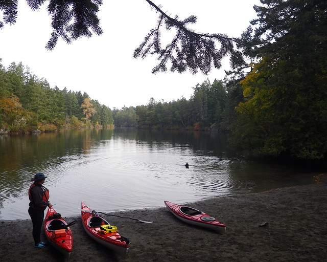
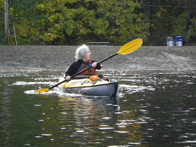
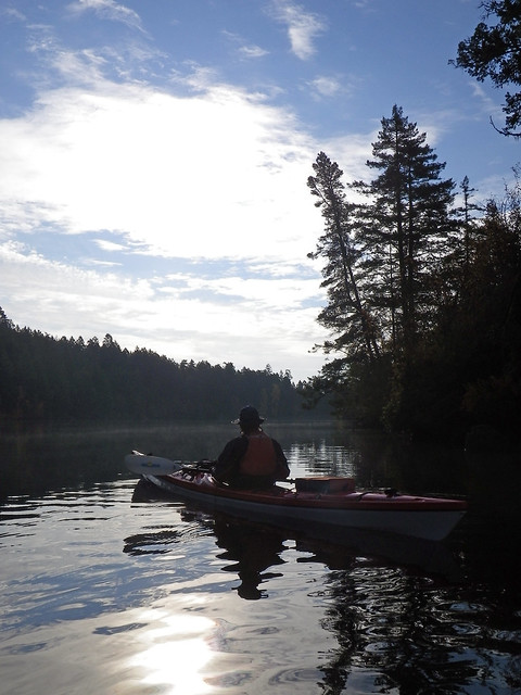
Louise and I put in with Alison....
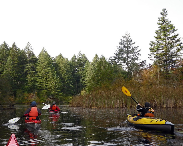
....and caught up with Paula at a different part of the lake.
Checking my records, I see that this is our first paddle this year at the lake. How the heck did that happen?
Not only is this a great place to paddle, but it's a great place to do some rescue and paddle practice, but no one felt like doing that today. That water was cold!
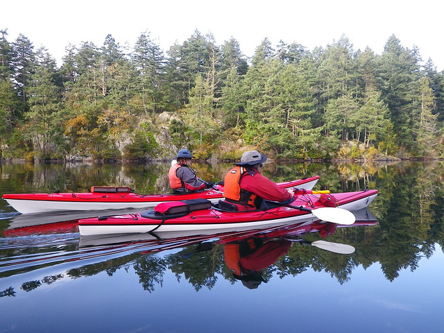
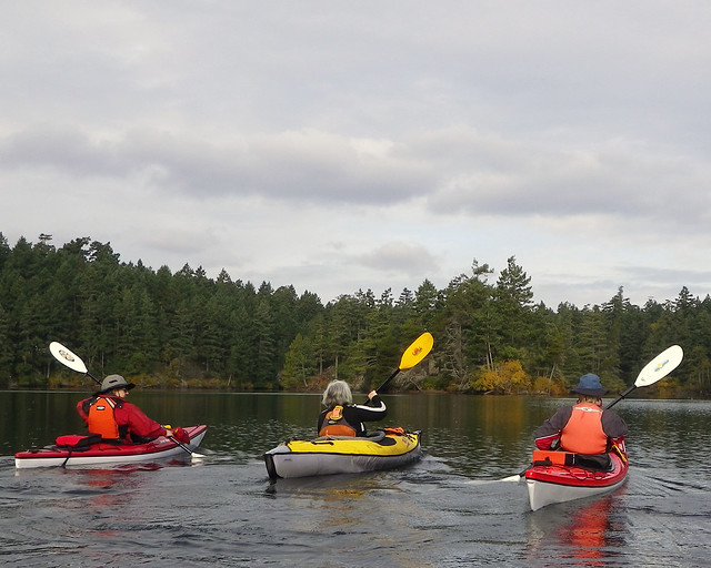
So we spent a couple of hours meandering around the lake....
...and then spent a couple of hours warming up afterwards!
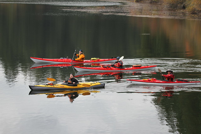
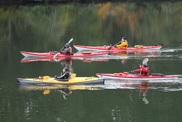
But before we could imbibe some warm beverages, we passed a bluff on the shore where a photographer took some snaps of us. We bumped into him later in the parking lot and he graciously emailed us the photos. Thanks for these pictures, Erik!
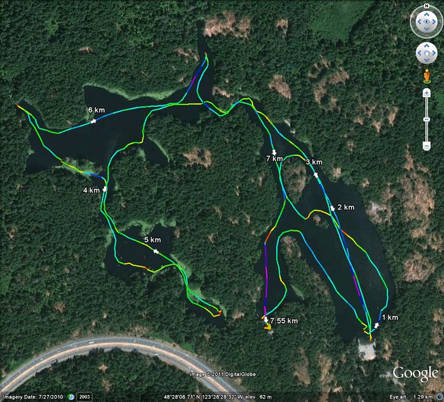
Trip Length: 7.55 km
YTD: 214.59 km
More pictures are here.
That is quite the circum-perambulation of Thetis Lake!
ReplyDeleteHi John,
ReplyDeleteNice post as always. Water's pretty cold out here in eastern Ontario too, although a semi-hardy few of us are still getting out.
Curious, how do you create the route maps that go with your posts? I do it manually in Google Maps after the fact, but that's fairly hit-and-miss. Are you using a GPS device of some sort?
Brent
There's a lot of tech on our boats! This trip, there were at least three cameras, between Alison and John. As well, John had his GPS on his boat's front deck, and I had my SPOT on my PFD. I think Louise, Alison, and I all had cell phones, and maybe John too (though he didn't carry one on the water for a while after soaking one during a safety exercise).
ReplyDeleteMike: Yeah, we did a few perambulations while we were waiting for Paula to arrive. :)
ReplyDeleteBrent: Let me refer you to this previous post.
Basically, I'm downloading my GPS track into an online program called GPS Visualizer that lays my track on to a Google Earth Map. Does the trick very easily.
Thanks John and Paula, useful information. I have no shortage of gadgets but haven't gotten around to GPS yet. Guess it's time :)
ReplyDeleteBeautiful pictures. I also like boating. I have saved your blog in my favorites
ReplyDeletewaterseal