
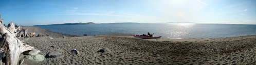
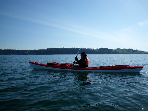
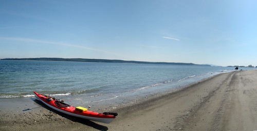
So this morning Louise and I headed to Island View Beach to launch on a warm and gorgeous spring day and rectify that oversight. A little breezier than expected, but nothing untoward. We were hoping the currents would work in our favour by taking advantage on the flood as we headed north around James Island, and ride the ebb the other way.
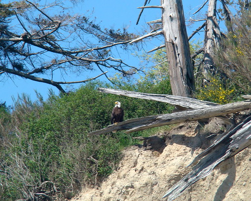
We didn't see a lot in the way of wildlife today. We saw a few ducks, and the occasional seal popped up to check us out. Eagles were a little more plentiful, but they were feeling shy and mostly stayed out of camera range. But we did see lots of unusual things flying in the sky.
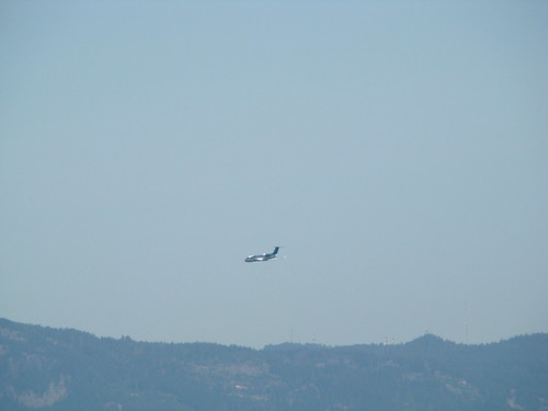
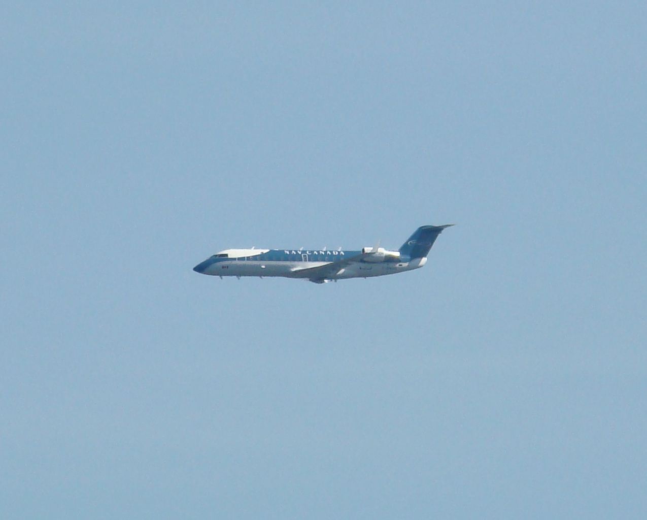
First there was this plane. We were on the water about three hours and the entire time we were out this plane was practicing approaches to Victoria Airport. We thought he was doing "touch 'n' go's" but as we paddled up the coast we realized that he wasn't even doing that -- he was just coming in for an approach, then he'd peel off, fly a circle over us, and return for another approach.
We paddled along side the shore...
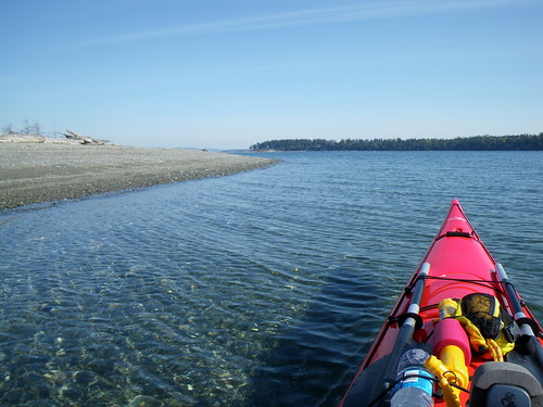
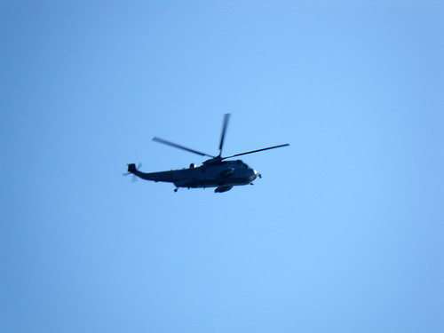
...then began our crossing to James. We were still watching the plane when we saw another object in the sky...
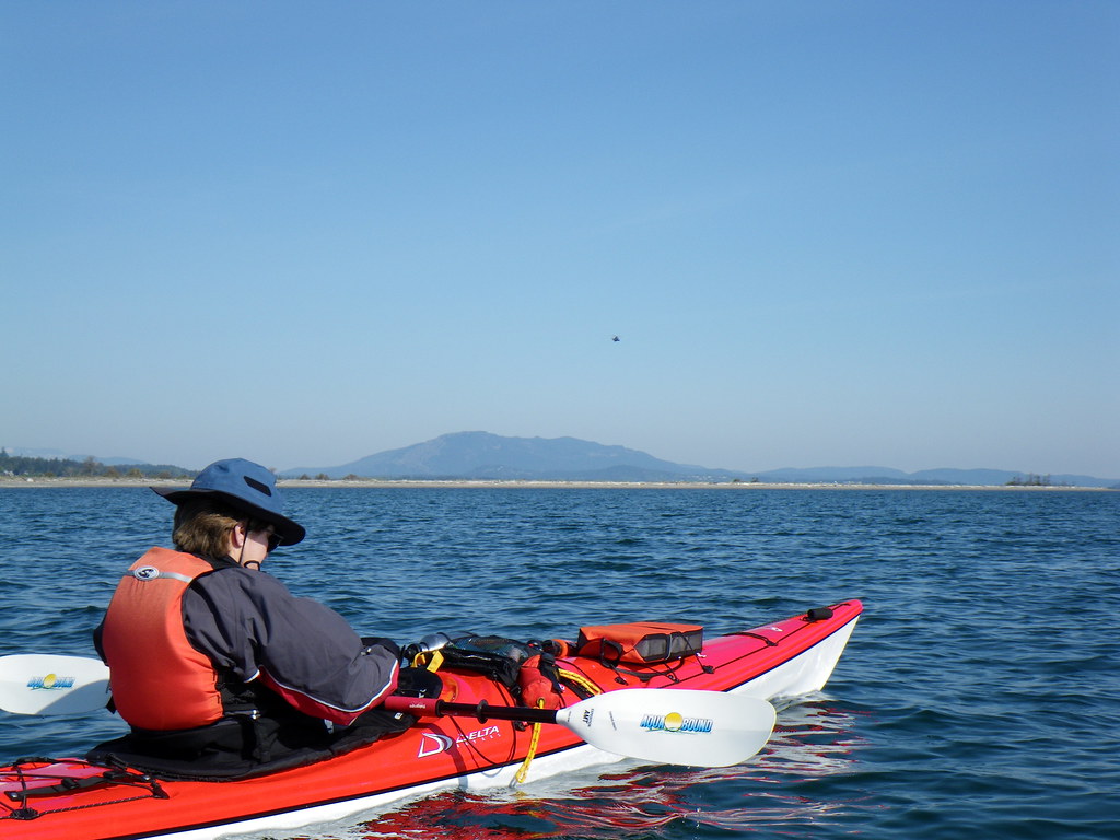
...and moments later we were overflown by a Canadian Forces helicopter.
We made it to James and turned around the sandspit at the far end and headed back.
We put in for a brief rest stop. James Island is now a private luxury resort owned by a former cellular phone magnate. It has its own airstrip and Jack Nicklaus-designed golf course. And, as some kayakers have discovered, an overly zealous security force.
The plane flew around again and we could finally make out the markings - Nav Canada. Nav Canada is the country's civil air navigation services provider, and provides air traffic control, flight information, weather briefings, aeronautical information services, airport advisory services and electronic aids to navigation. At least, that's what their website says. We later found out that Nav Canada was conducting calibrations of the airport's localizer and glide path instruments. It takes about six hours of flying in at various altitudes and approach angles to ensure that the airport's systems are up to spec.
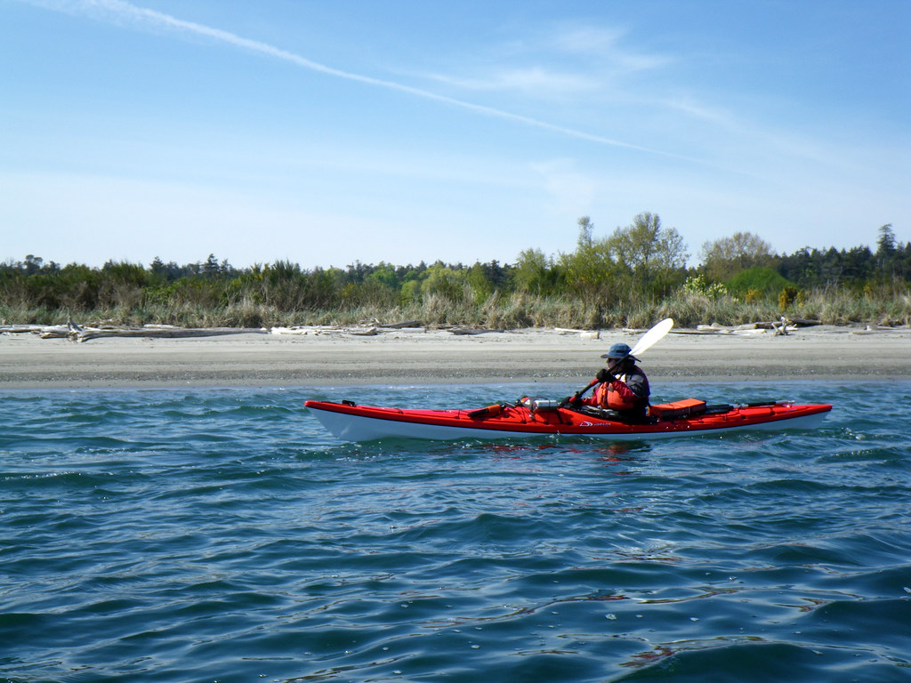
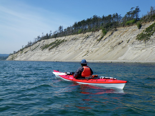
Soon we were at the south end of James, passing under the cliffs.
This was the best I could do for eagle pictures during our lovely paddle.
Trip length: 14.55 km
YTD: 60.29 km
My pictures are here.
No comments:
Post a Comment