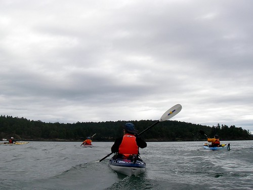
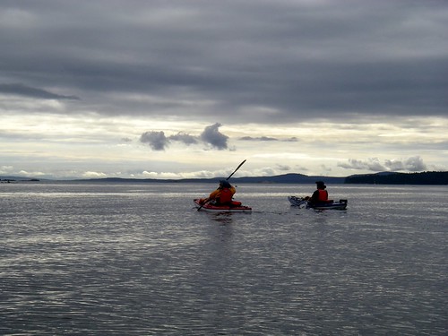
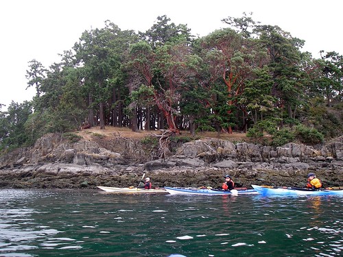
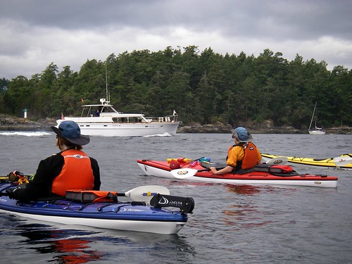
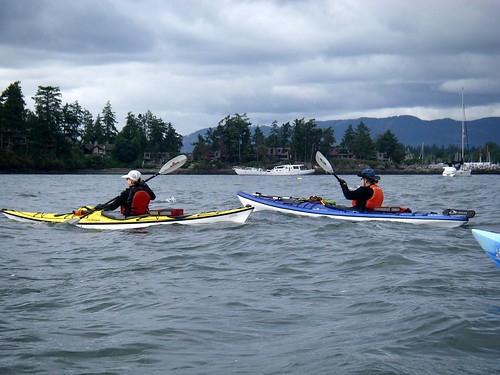
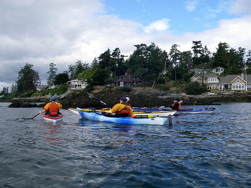
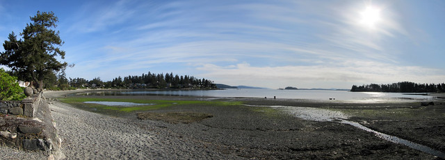
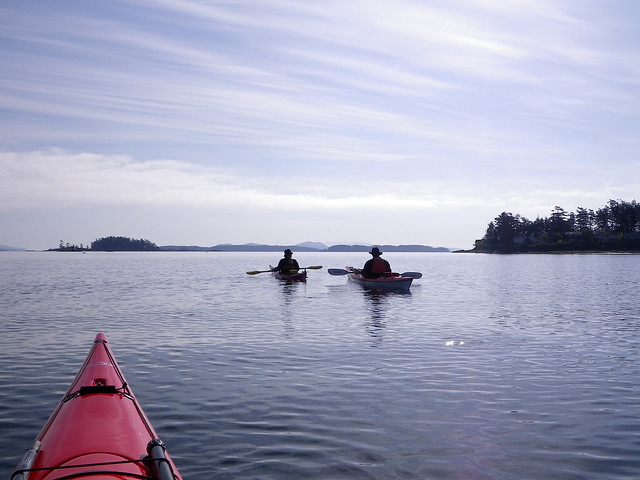
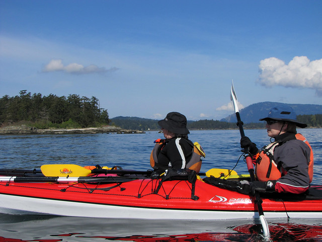
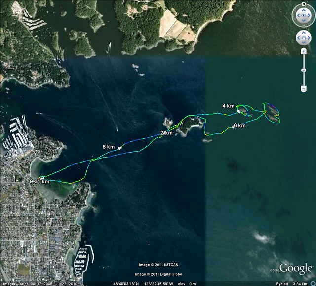
We've paddled Sidney a number of times. Not as extensively as, say, Cadboro Bay, but still frequently enough that we've noticed a few unique features of the area.
Finding a place to put in isn't the most difficult of problems; there is a public boat launch in Tulista Park, across from the north end of Sidney Island that offers parking, washrooms, a park, and both a trailer launch and dock. There was also a restaurant in the park, but this may not currently be the case.
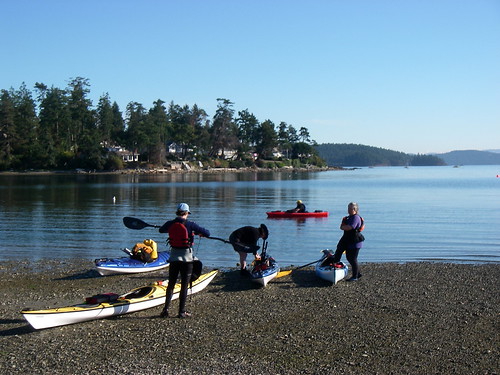
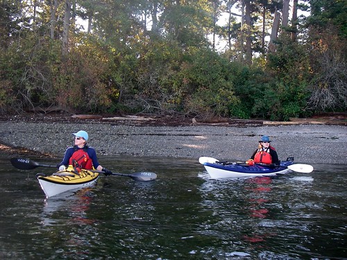
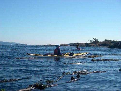
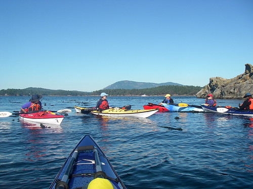
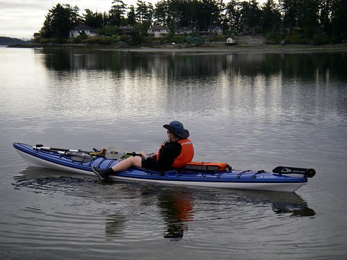
There is also a park/protected bird sanctuary where one can launch. This is more difficult to find, and parking is much more difficult—the tag end of Ardwell Avenue that leads in to the launch is restricted to thirty minutes parking. So you can stop and unload, but then have to move your vehicle out of the area before taking off. This doesn't seem to bother too many kayakers—we regularly run into other paddlers there. I think the busiest day was when six other boats were unloading while our group was loading our five boats. Good humour and camaraderie are essential paddling companions, particularly in situations like this.
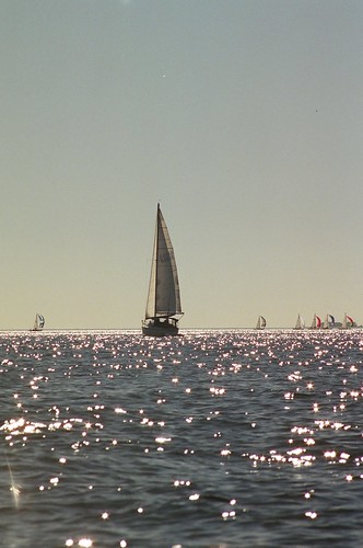
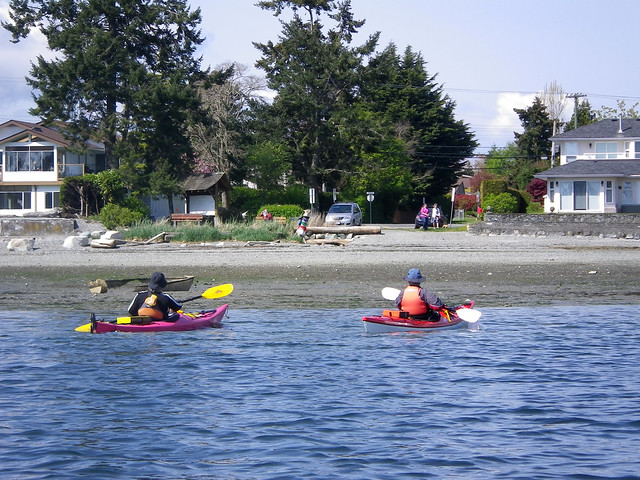
We have paddled from Tulista Park, following the shoreline up through the heart of Sidney and finally turning back at about Armstrong Point at Roberts Bay. This makes for an interesting scenic paddle; Sidney has a long sea walk that centres on a small park at the end of Beacon Avenue just where it turns into the main wharf. North of the wharf is new commercial and residential development, and a man-made breakwater protecting a bay with moorage for a lot of very pricey boats. When paddling past the breakwater, you have to be careful, as there can be a lot of power and sail traffic in this area. It is important to remember the alternate name for kayaks in an area like this: speed bumps.
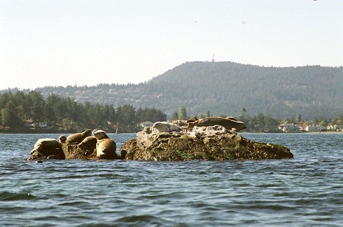
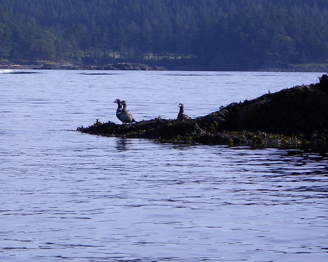
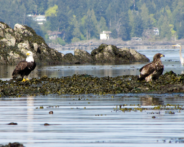
North of the breakwater are a number of rocks, visible or not depending on the tide. This proved to be a good wildlife watching area, with the occasional seal, loads of birds, and places to see crabs, starfish, and the like. You do have to be careful though, as the tides do create a number in interesting currents in the area. If you are a birdwatcher, the bay at the north end of the paddle is a protected area, and gives good access to a number of species—particularly from the water. Overall, this is an interesting tourist paddle, leaving a lot of opportunity to pull in, wander through downtown Sidney, grab a coffee, etc.
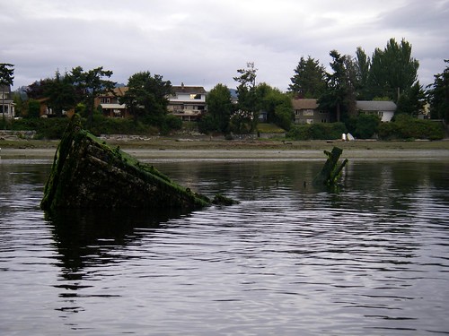
The northern launch into Roberts Bay, is more interesting. You launch into the bird sanctuary, past a sunken fishing boat hull and out into the larger ocean.
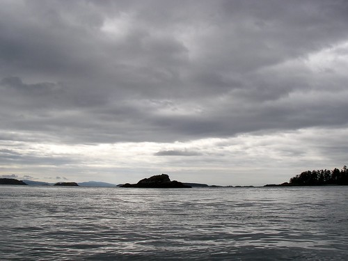
Visible from the mouth of the bay are a number of different paddle destinations. Following the shoreline north and east takes you through quite a few bays, inlets, and passages, and if you continue east, this leads you past the south shore of Coal Island,from Killer Whale Point to Kamai Point, making a reasonable turn around point for a short (less than two or three hour) paddle.
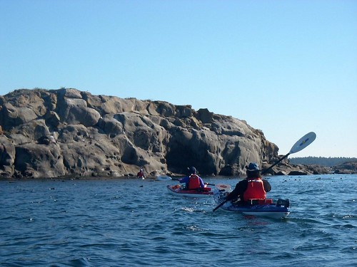
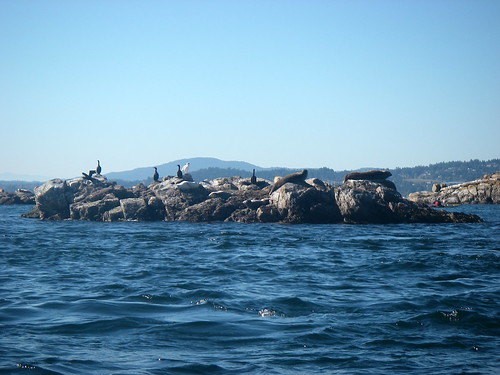
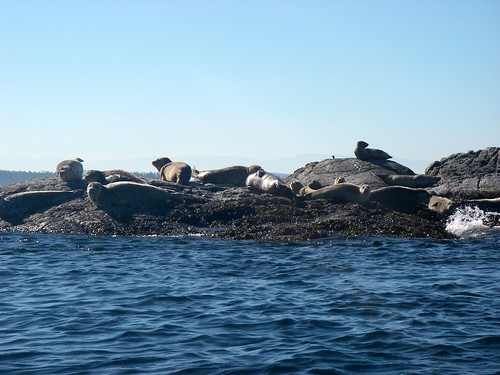
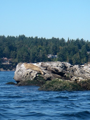
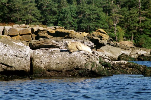
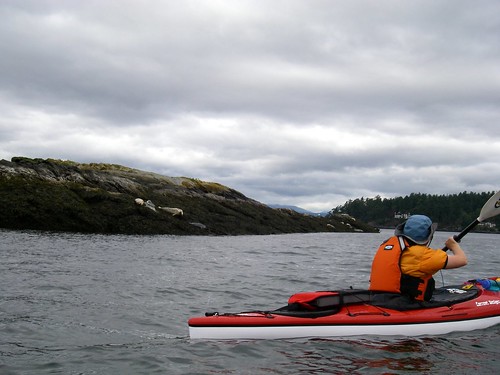
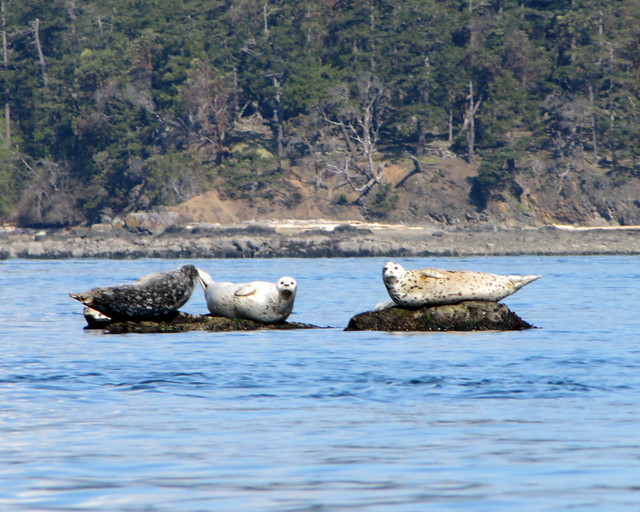
There are alternatives to turning around and following the shoreline back to Roberts Bay. One is to paddle over to Ker Island, and then return. Our most frequent paddle is out to Ker Island, coming around the north shore, paddling over to the rocks between Ker Island and Dock Island, back around the south shore of Ker Island, and then either over to Coal and follow the shoreline back, or simply heading straight back. This route maximizes our wildlife viewing, as there are usually seals out at Dock Island and the Little Group, and there is usually quite a collection of seals, cormorants, and other birds around the rocks at the east end and south shore of Ker Island.
This route is not really a beginner paddle, though. Depending, as usual, on the tides, there is quite a strong current running between Ker Island and Little Shell Island in Byers Passage, around the north side of Little Shell, and around the south-east end of Ker, making this something more of an intermediate paddle. These currents don't show up at the scale of the Canadian Current Atlas: Juan de Fuca Strait to Strait of Georgia.
Nor are they on any of the Canadian Hydrographic Service charts down to 1: 10 000. In fact it wasn't until I picked up the brochure
Recreational Boating and Kayaking in Gulf Islands National Park Reserve that I saw any reference to what we had discovered by paddling the area; for kayakers, this area takes some firm paddling. Even more so between Ker Island and the rocks to the west: here the water acts like the waters of Baynes Channel off the Chatham Islands (although not as strong). Currents here max out at about 3 knots, as opposed to the 6 knots at the north end of Baynes.
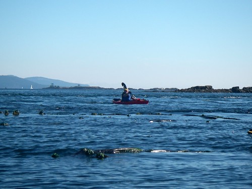
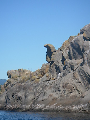
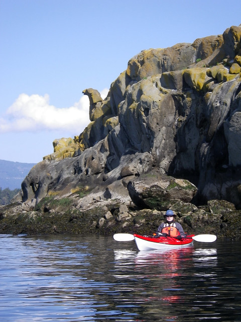
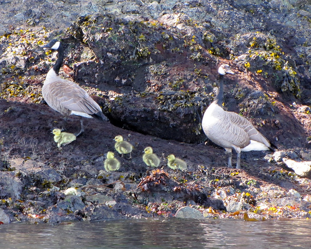
If you chose to paddle out to Dock Island and the Little Group, there are several things to look, and look out, for. There are some kelp beds at the southern end of the group that often have seals feeding in amongst them. Often the first you'll know about them is a loud slap on the water behind you; the seals check you out from behind, and when tired of your novelty value, suggest that it's time for you to leave. You may also notice little wire cages scattered about on the rocks. These are part of a study being done on goose foraging habits. And then there is what we've dubbed the Sidney Sphinx; a chunk of weathered rock on one of the islets.
The rocks on the east and south of Ker Island are pretty regularly used by seals as haul-outs. So be careful when you approach; they don't need to be scared and you don't need to scare them. The general rule from Parks Canada is to remain a hundred metres off from known nurseries and haul-outs. Also expect to see—and smell!—a lot of cormorants on these rocks. The smell of digested fish is often noticeable well before the hundred metre limit is reached.
It was at the west end of Ker Island at the end of Byers Passage that I first saw one of the most interesting things I've ever tried to photograph. I was being swept west and north by the current here when I spotted crabs hanging from the kelp bulbs and leaves. I've put a couple of photos below, but keep in mind that I was being swept along at 2 or 3 knots, dunking my camera under water, and hoping that I was both within range and pointing accurately without being able to see exactly what I was shooting, so the photos are pretty crappy.
The crabs hang from the kelp, apparently waiting for food to be blown past by the current. I guess it makes sense—why hunt when the food will come to you—but man, they would have to be fast on the draw. As I said, the current here can really whistle along, and any crab-sized snacks would be moving pretty fast too. But there wasn't just one crab doing this, but several, so I guess the practise works.
We usually make this loop around the island the focus of our paddle and then, depending on currents, weather, and how strong our weakest paddler is feeling, we will either paddle directly back to the launch site, or we will cross the channel to Kamai Point on Coal Island and follow the shoreline back. As is usual here on the west coast, the shoreline paddle is gorgeous, with kilometres of stunning landscapes and fabulous views. All made even more interesting from a water-based vantage point.
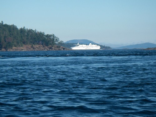
Between Curteis Point on Vancouver Island and Killer Whale Point on Coal Island are several passages that take you past Kolb, Fernie, and Goudge Islands and allow you to explore around the north end of Coal Island. On a longer trip, you can cross Colburne and Shute Passages and make your way over to Portland Island via Knapp and/or Pym Islands. But this does put you near or across various BC Ferry routes with the attendant dangers.
Apart from the aforementioned brochure from Parks Canada, which gives you a good overview of the area along with a fair bit of additional information on camping and hiking and etc., your main chart for this area would be CHS Chart #3476
Approaches to Tsehum Harbour.
Tulista Park is off Lochside Drive, Sidney, and should be findable with any reasonable city map. The same is true of the Roberts Bay launch, at the end of Ardwell Avenue.